Sword Beach
Mine- and obstacle-clearing tanks of the 27th Armoured Brigade thread toward the shore at Queen sector, Sword Beach. One vehicle in front of the villas has been knocked out.
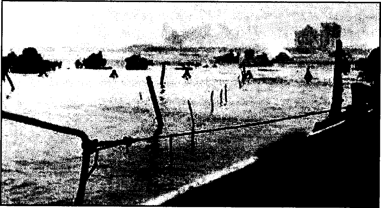
"Sword" was the code name for the extreme left beach of the five landing areas of the Normandy Invasion. It occupied a 5-mile (8-kilometre) stretch of the French coastline from Lion-sur-Mer on the west to the city of Ouistreham, at the mouth of the Orne River, on the east. The area was dotted with vacation homes and tourist establishments located behind a seawall. It was also approximately nine miles north of the hub city of Caen. All major roads in this sector of the Norman countryside ran through Caen, and it was a key city to both the Allies and the Germans for transportation and manoeuvre purposes.
The Germans had fortified the area with relatively light defences consisting of beach obstacles and fortified emplacements in the sand dunes. For the most part, however, the defence of the beach was anchored on the 75-millimetre guns of the Merville Battery, located some 5 miles to the east across the Orne River estuary, and on bigger 155-millimetre guns located some 20 miles farther east at Le Havre. A few miles inland from the beach were 88-millimetre guns capable of supporting the machine guns and mortars that were placed in the dunes and villas and that constituted the Germans' first line of defence. There were also antitank ditches and mines as well as huge concrete walls blocking the streets of the towns. Elements of the German 716th Infantry Division—in particular, the 736th and 125th Regiments—along with forces of the 21st Panzer Division were in the vicinity and were capable of participating in defensive or offensive operations. To the east, across the Dives River, lay the 711th Division.