Pointe du Hoc
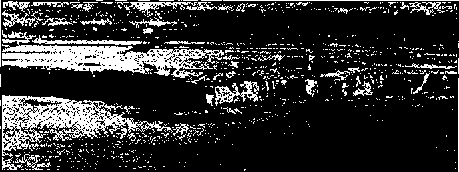
The cliffs of Pointe du Hoc, rising 100 feet (30 metres) above the English Channel, as pictured from a photoreconnaissance airplane before D-Day
Pointe du Hoc is a promontory situated between two landing beaches that were taken by American forces in the Normandy Invasion. Formally part of the Omaha Beach invasion area (assault sector Charlie), it was itself the object of a daring seaborne assault on D-Day by U.S. Army Rangers, who scaled its cliffs with the aim of silencing artillery pieces placed on its heights.
Pointe du Hoc was an ominous piece of land jutting into the English Channel 4 miles (7 kilometres) west of Omaha Beach and 7 miles east of Utah Beach. It provided an elevated vantage point from which huge German guns with a range of 15 miles could deliver fire upon both of the American beaches. Allied intelligence and photoreconnaissance had identified five 155-millimetre guns emplaced in reinforced-concrete casemates on the Pointe, and Allied commanders had determined that the neutralization of these guns was the key to the fate of the Omaha and Utah landings. The area of the Pointe was defended by elements of the German 352nd Infantry
r Division.
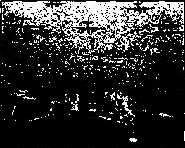
Medium bombers of the 9th Air Force strike Pointe du Hoc on June 4, 1944—the beginning of two days of intensive bombardment and naval shelling leading up to the D-Day assault
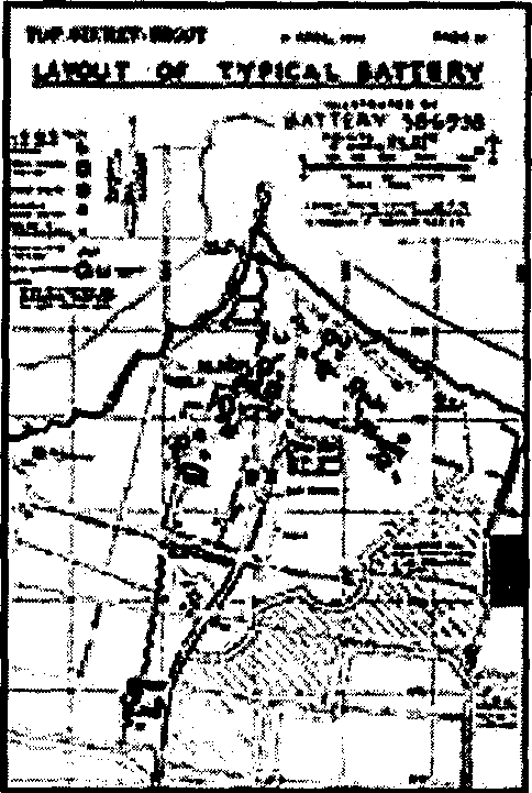
Official "Top Secret - Bigot" plan of the Pointe du Hoc battery, from the Allies' "Neptune" plan for D-Day.